A Beginner’s Guide to Drone Mapping and Surveying

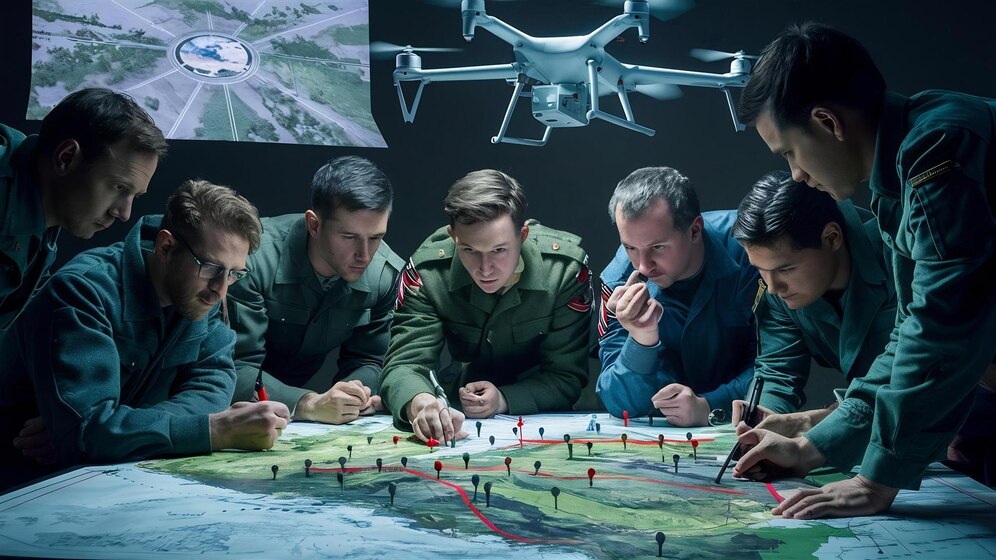
Before drones, large areas were mapped and surveyed with helicopters. Drone mapping and surveying can be safer and more economical. The objective of mapping is to create a 2D or 3D map of the survey area using data collected by the drone. An important mapping component is that data needs to be “geospatial.” Each data point must correspond to a precise location in the real world based on actual coordinates. This makes mapping data useful for making practical measurements and for planning activities or expeditions into remote areas.
Drone mapping is an instance of remote sensing technology. Remote sensing is any data collection method that requires no physical contact between the person or measuring device and the measured object. Satellite imagery and surveys are common remote sensing applications.

Working on Drone Mapping- Photogrammetry and LiDAR
Photogrammetry
Photogrammetry involves taking overlapping snaps of the same subject, which can then be handled to create a 3D model. Drone mapping using photogrammetry is a scaled-up version of the same concept. With a drone, several photos of a survey area are taken from altering vantage points. This is preferably done automatically by programming the drone with special mapping software.
The advantage of photogrammetry is that it does not need devices other than the normal camera drone. Photogrammetry has become the preferred method for most drone pilots. Regarding capital involved, starting a commercial business based on photogrammetry-based drone mapping is much easier.
LiDAR
LiDAR is an alternative to photogrammetry. This type of survey depends on a special LiDAR sensor emitting continuous and rapid pulses of invisible light on its way to the survey area. This is reflected off the surface of solid features and sensed again by the LiDAR sensor. The dimensions and locations of features on the ground are then determined using the time-of-flight concept.
The biggest advantage of LiDAR is that it does not depend on visibility when making measurements. This makes it more versatile in surveying areas where visibility can be an issue, such as those with nearby large structures. LiDAR signals can also penetrate the canopy, making it the ideal mapping technology for heavily forested areas.

GCPs, RTK, and PPK
Ground-level correction is essential for complex mapping applications because GPS location accuracy is limited to 2 to 5 meters, even at maximum satellite coverage and using the most sophisticated GPS. By correcting using any of the 3 methods, the data's geospatial accuracy can be augmented up to a centimetre.
GCP
GCPs, or Ground Control Points, are the most traditional method of ground-level collection. It does not require fancy tech.
GCPs are fixed points on the ground captured by the drone during aerial mapping. Surveyors establish these GCPs on the ground and record them through GPS location. A minimum of 5 GCPs is recommended, but increasing to 10 can also be helpful.
The advantage of establishing GCPs is that they incur no additional cost for a survey regarding more cutting-edge technology. However, surveys will take longer because the surveyors have to access the target locations for the GCPs physically. This may not be feasible in survey areas that are heavily forested or have dangerous terrain.
RTK
RTK, or “Real Time Kinematic,” is an extra module designed for more precise mapping in drones. As the drone flies over the survey area, its GPS reading is incessantly corrected based on its relative distance from the base station.
An RTK workflow applies geospatial corrections in real-time. This means that the RTK module and base station need to always communicate for every data point collected throughout the survey. This works great in large open areas without any obstacles. However, urban areas with buildings and other sources of signal interference may be challenging for an RTK-based survey.
PPK
PPK, or Post-Processed Kinematic, is similar to RTK in that it also depends on an onboard PPK module and a base station at a fixed ground site. There is a minimum difference between the two concerning technologies.
The difference is in workflow. Rather than doing real-time geospatial correction, the PPK module and base station collect data synchronized but independently. This means that the locational data collected by the PPK module will merely be corrected during post-processing.
A PPK-enabled mapping drone is much more versatile because it does not rely on the two modules to maintain good communication throughout the survey. This makes PPK surveys favourable in urban areas. For this reason, PPK has been the ground correction method of choice for most mapping professionals in the last few years.
Applications of Drone Mapping and Surveying

Construction
Aerial mapping creates a 3D model that can be used during construction job planning, whether for a building, roads, communications towers, or power lines. This model can help create project timelines and cost estimates.
Drone mapping can even be helpful during or after a construction job. It is common to generate 3D models of a building as it is constructed to monitor and document progress. 3D models also offer excellent marketing materials should a project require to be presented to stakeholders.

Research
Researchers in the environmental and geological fields have recognized the worth of drone mapping. Drones can gather data in hazardous areas.
Contemporary survey equipment is precise and can help geologists classify rivers, faults, domes, and scarps. It can also help with survey planning should field personnel be required to access areas physically. Drone surveys can be done to monitor wildlife movement or vegetation growth for environmental monitoring.

Land Surveying
Land surveying is the practice of defining the boundaries of land. Previously, this was done with ground-based surveys, which can take a long time for large areas.
The advantage of a drone survey in land surveying is that it produces a digital model that can be navigated and measured infinitely many times. Upon completing a survey, there is no need to return to the field, as all the data is easily accessible.

Mining
Recently, the mining industry has become a top customer of drone mapping professionals. 3D models of a mining area are priceless during planning. They help plan the construction of access roads and how much material to excavate. They can also identify likely geologic hazards that require to be addressed.
Drones can more precisely measure the volumetric content of stockpiles and aggregates than other ground-based methods. They can also be used for safety and progress monitoring throughout a mining operation.
Benefits of Drone Mapping and Surveying

Faster Data Collection
A remote sensing process such as drone mapping is a much faster substitute to any ground-based method. The data a drone can collect in just an hour will take more than a few days or weeks for people on the ground. A drone is a faster data collection tool. It does not need much time for clearance and can be deployed outside the survey area.

Automated Workflow
Data accuracy is one of the most significant elements of a mapping survey. There is no room for human error when a project is on the line, and drone surveys suit this need as they can be totally automated. Automation allows surveys to be faster and error-free because of operator intervention. A programmed flight path can be retrieved, allowing surveys to be repeated. This can be important for surveys to monitor vegetation changes.

Safer
Safety is one of the biggest benefits of drone mapping and surveying. Drone surveys do not expose people to the hazards, which is particularly important in remote areas. In cities, drones are much safer than manned aircraft. Since drones are much smaller than helicopters, they can more easily navigate around obstacles. For this reason, mapping holds several opportunities for drone pilots.
Final Thoughts
The drone mapping industry is for people seeking to become professional drone pilots. Those with the right skills might have many prospects. To get all those skills required to power a drone, you can come to us at Flapone Aviation.
Related Blog
Latest updates and insights from Flapone Aviation.
What Types of Drones Are Present in the Market?
October 8, 2024

How to Become a Pilot After 12th in India?
February 7, 2025
What are the Basics of Drone Piloting?
February 7, 2025



Author Bio
A dynamic and seasoned content writer with 6 years of experience curating content for different platforms. With the knowledge of all the cogs of content writing and SEO, he has served in various industries. He believes that content is the kingpin, and if penned well, it has a lasting impact on the minds of the readers. Apart from content creation, he is also an ardent poetry lover and performer. He has two publications of his poetry collection, namely Alfaaz and Chestha